
Luminescence Dating Laboratory
Luminescence Dating Laboratory
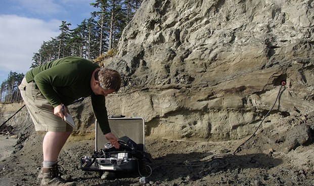
Reconstructing past environments is essential for understanding how landscapes respond to changing climates. The holostratotype for the Muir Point Formation (MPF) at Muir Point, SE Vancouver Island, BC, has been previously interpreted from palaeoecology and luminescence age estimates to have been deposited during the climate optimum of the last interglaciation (MIS 5e). It is bounded by glacial and nonglacial units of unknown age. One of these nonglacial units, which lies directly above MPF sediments, contains pollen that suggests that climate was colder than that at present and has been interpreted to be consistent with deposition during MIS 3. Radiocarbon ages from wood collected from this unit are all interpreted to be infinite, and preliminary luminescence dating has been problematic due to poor luminescence signals from quartz and feldspar ages that are too old to be corrected for anomalous fading. In this study we will present luminescence dating data from K-feldspar that was recently acquired using the post-IR IRSL method that is designed to minimize the effect of anomalous fading. This new age information will be compared to existing data in order to help resolve the chronological challenges and more accurately constrain the timing of deposition of this key lithostratigraphic unit.
The Antarctic ice sheet is the largest ice sheet on Earth and losing its mass at an accelerating rate which has implications for global sea level and climate, affecting coastal communities around the world. Antarctica and the Southern Ocean are key players in the regulation of global climate and ocean systems.
In February and March of 2025, the Canadian Antarctic Research Expedition – CARE 2025 for short – set out for the first all-Canadian research voyage to Antarctica to investigate the retreating glaciers and ice caps of the South Shetland Islands and Antarctic Peninsula, the physical, chemical, and biological properties of the ocean, and take samples for contaminants research. This project is a collaboration of several federal departments and universities across Canada, including Natural Resources Canada, the Universities of Calgary, Dalhousie, Victoria, Sherbrooke and New Brunswick, as well as Ocean Networks Canada, among others.
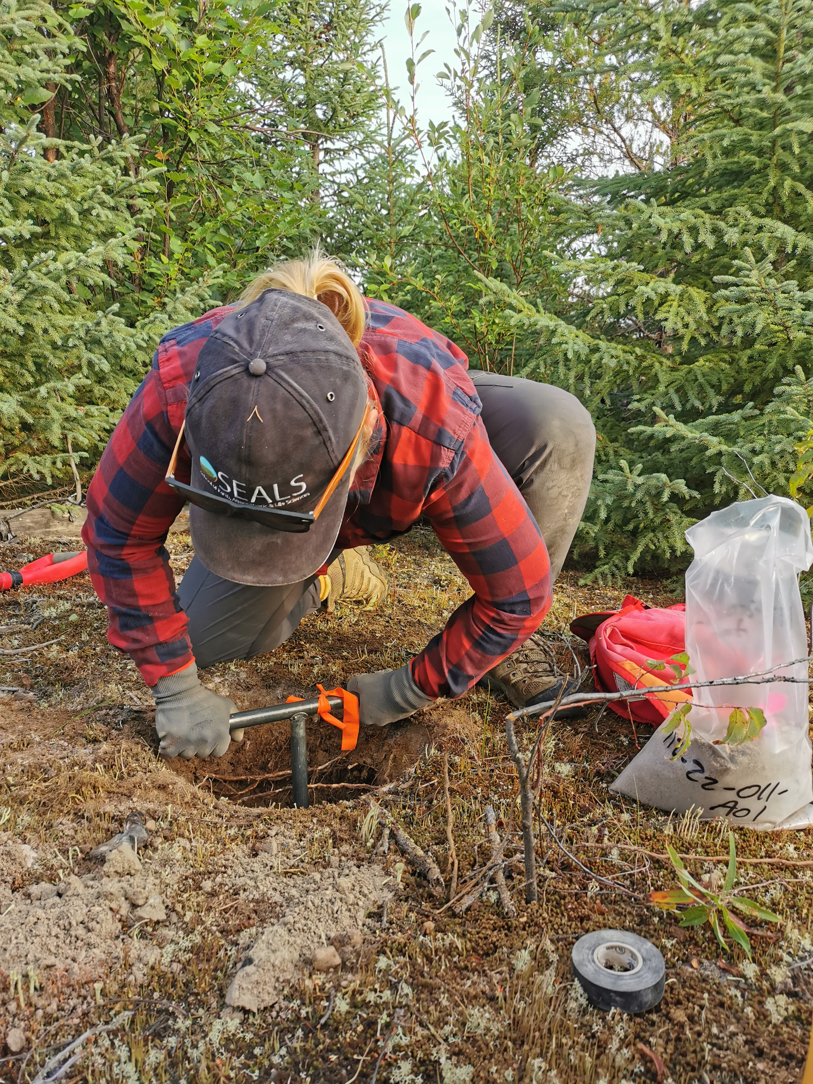
The luminescence dating lab at UFV was asked to participate in this research project by the chief scientist, Thomas James from Natural Resources Canada. During the four week-long expedition, four samples for luminescence dating were taken from palaeo-shorelines in Admiralty Bay located at King George Island off the coast of mainland Antarctica.
Our analysis will focus on determining ages for each of the samples to ascertain deposition time and rates for these palaeo-shorelines by measuring their luminescence signals. In addition, we plan to investigate luminescence characteristics, such as signal intensity and sensitivity from different grain size fractions and different minerals and will add these to a growing data set of global luminescence characteristics.
Critical minerals, like lithium for new generations of batteries, are important for securing Canada’s future at a time of transition towards a greener economy. Canada is rich in mineral resources, but many of these deposits are difficult to locate as they are covered in sediment from past ice sheets. Mineral prospectors use a range of techniques to detect economically important minerals in glacial sediments and trace them back to their source deposits. We are researching whether the thermoluminescence emission spectra of quartz and feldspar, the wavelengths of light emitted by mineral grains in response to heating, can serve as a way of detecting what kind of rock deposits the grains have come from. Quartz and feldspar are the most abundant minerals on Earth, so this technique could potentially be applied in a wide range of locations. We are working in collaboration with researchers at the Danish Technical University and the University of British Columbia, and the project is funded by the Canadian Governments Natural Science and Environmental Research Council.
The rate at which rivers migrate across their floodplain is a fundamental control on how long sediment remains in storage. Whilst in storage, sediment in the floodplain undergoes chemical weathering processes that are important for Earth’s carbon cycle. However, quantifying the length of storage timescales and can be challenging to scale up at the scale of large rivers and their floodplains. We are applying luminescence dating to river meanders in the Yukon to quantify their long-term migration rates and developing rapid methods using a portable luminescence reader to help upscale this dating process. This project is in collaboration with researchers at the University of British Columbia.
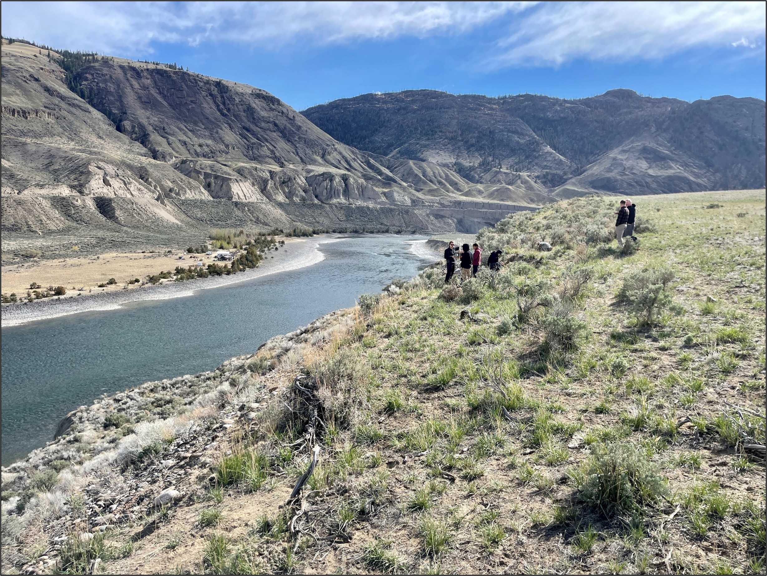
Roughly 20,000 years ago, most of British Columbia was still covered by the Cordilleran Ice Sheet. As the last Ice Age came to an end and conditions warmed, the ice sheet melted, and landscapes began a transition to warmer, interglacial conditions. This meant that rivers began to flow, eroding through valleys filled with glacial sediments. As these rivers have eroded downwards, they have left terraces of sediment that look like staircases down valley sides: important records of how our rivers have evolved over time and how they respond to these ancient climatic changes. The Luminescence Dating Lab has led several projects dating these features in the watershed of the Fraser River. The most recent work focuses on the Thompson River, between Kamloops and Lytton. This project is in collaboration with researchers at the University of British Columbia and Simon Fraser University, and First Nations in the interior of BC, and has been funded by Mitacs and the British Society for Geomorphology.
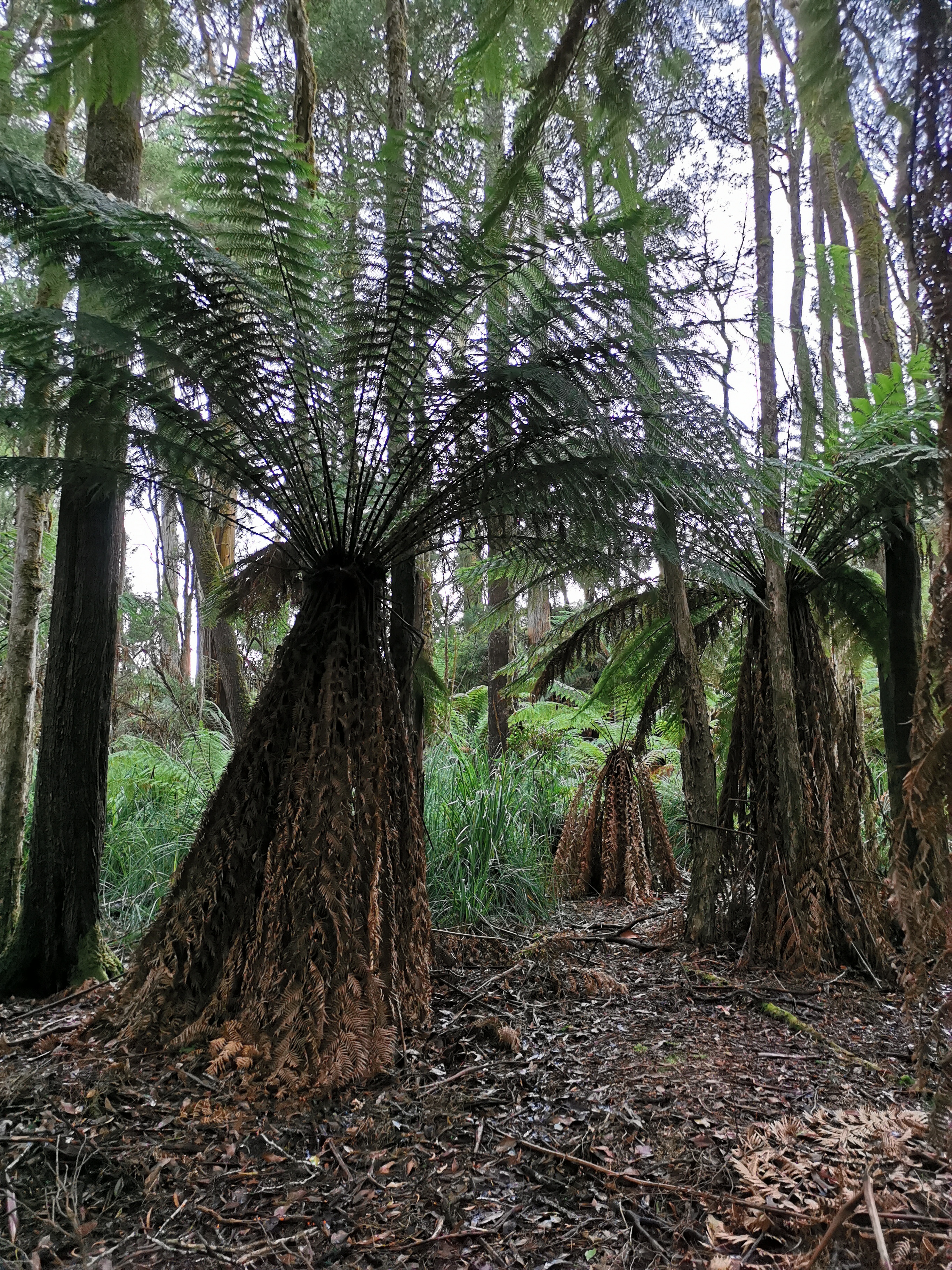
Late Pleistocene and Early Holocene aeolian deposits in Tasmania are extensive in the present subhumid climate zone but also occur in areas receiving >1000 mm of rain annually. Thermoluminescence, optically stimulated luminescence, and radiocarbon ages indicate that most of the deposits formed during periods of cold climate. Some dunes are remnants of longitudinal desert dunes sourced from now-inundated continental shelves which were previously semi-arid. In this project, we are investigating ancient sand dunes in the Christmas Hills region of northwestern Tasmania. This is a continuation of a project from 2020 where samples from southeastern Tasmania were investigated using a similar technique – thermally-transferred OSL (TT-OSL). The collected material is currently being prepared at the University of the Fraser Valley and will be analyzed using multigrain OSL in collaboration with Dr. Christina Neudorf ( former postdoctoral fellow).
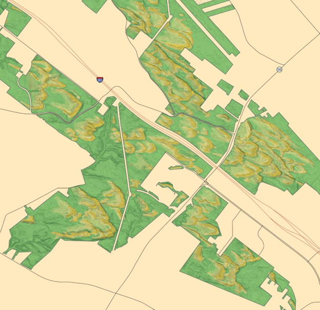
The Albany Pine Bush Preserve (APBP) is a United States National Natural Landmark, located in the state of New York. The preserve includes one of the most extensive inland sand dune areas in eastern New York and is one of the best remaining examples of globally-rare inland pitch pine-scrub oak barrens adapted to dry conditions and frequent fires. The APBP is also one of only a handful of post-glacial dune fields located in northeastern United States and southeastern Canada northward of the Last Glacial Maximum – few of which have been dated or studied in detail. The preservation status and ecological significance of the APBP makes it an ideal candidate for more detailed study to understand past eolian activity and dune formation in a post-glacial environment. We applied optical dating to sediment samples from the sand dunes to constrain the timing of stabilization of the dune and the change in environmental conditions when the LIS retreated northward.
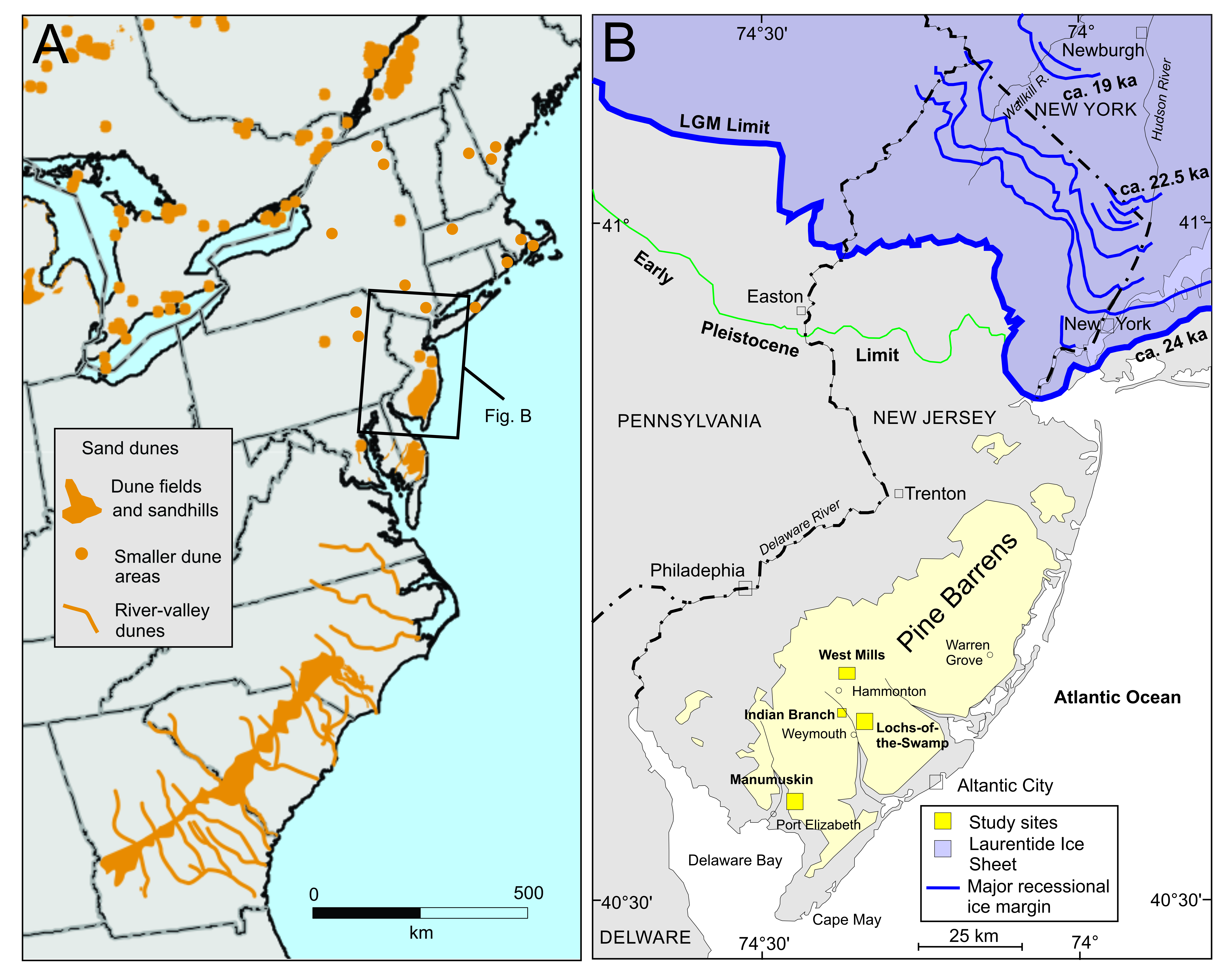
Aeolian dune fields are widespread in the northern Atlantic coastal plains, USA. They were likely formed by katabatic winds off the Laurentide Ice Sheet (LIS) that assisted with the proglacial transportation of aeolian sediment along the central eastern American coast. The New Jersey Pine Barrens, a region about 100 km beyond the southern extent of the LIS, contains several aeolian dune forms that are currently stabilized and preserved by vegetation. Understanding when the sand dunes stabilized helps to understand how the proglacial landscape in this region responded to the retreating ice sheet. Our results indicate that these sediments were deposited after the last glacial maximum (<24 ka), during marine isotope stage (MIS) 2, when the LIS was retreating northward.
The Laurentide ice sheet (LIS) repeatedly waxed and waned over the North American continent during the Quaternary period. Its existence had a profound effect on the local terrestrial environment, and on global sea level and climate. Evidence of the presence and extent of the LIS is preserved in the depositional record. In places, this depositional record contains nonglacial sediments buried beneath glacial sediments. Ascertaining the timing of these nonglacial periods is difficult as organic material found within the sediments is commonly near or beyond the ~50 ka limit of radiocarbon dating, poorly preserved, or suspected of contamination. Optical dating of quartz, which can be used to date the burial time of sediments, provides an alternate geochronological method and its upper age limit is usually about 150 ka. We are applying this dating method to several key stratigraphic beds in the Hudson Bay Lowland region of northeastern Manitoba and will compare our optical dating results with information inferred from stratigraphic and paleoenvironmental records reconstructed by collaborating researcher at the Manitoba Geological Survey. In addition, we are characterizing the luminescence characteristics of quartz from this region to better understand the unique behaviour of these sediments.
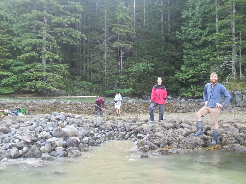
Optical dating revealed that the three clam garden sites tested on northern Quadra Island were between 1,000 and 1,700 years old. Christina Neudorf, a post-doctoral researcher and Hakai scholar, and her colleagues from the University of the Fraser Valley and Simon Fraser University published these results in a new study in the journal PLOS ONE.
Was there a prehistoric superhighway used by ancient peoples to migrate south from North-east Russia to the Americas? And if so, where was it?
"For Dr. Olav Lian and his team of student researchers it’s all about the details. Teeny, tiny, minuscule details — grains of sand in this case — that lead to big discoveries. Lian is an earth scientist in…"
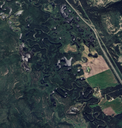
"Working with NASA (National Aeronautics and Space Administration) is a dream for most scientists. And it’s something a group of UFV students were able to experience during a summer research trip to south central B.C. last summer.
The group spent two days at Kelly Lake (near Clinton) in..."